107,99 zł
Dowiedz się więcej.
- Wydawca: epubli
- Kategoria: Literatura popularnonaukowa•Nauki humanistyczne
- Język: angielski
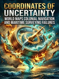
Empires trusted islands that never existed. For centuries, phantom territories occupied official world maps, appearing in naval registries, shipping routes, and colonial planning despite repeated failures to locate them again. The history of maritime surveying reveals how institutions preserved geographic mistakes long after doubt emerged. From Renaissance Europe to twentieth-century hydrographic offices, mapmaking depended on inherited authority. A captain's observation could become permanent through repetition in commercial atlases and government archives. Colonial navigation systems rewarded speed over verification, allowing imaginary landforms to survive across generations of charts. In the Pacific and Southern Oceans, crews chased coastlines distorted by storms, magnetic confusion, and atmospheric illusion. Some phantom islands became diplomatic reference points; others influenced military planning and insurance calculations. Drawing from exploration journals, naval archives, and modern satellite analysis, this book reconstructs the bureaucratic machinery that sustained cartographic fiction. It examines why institutions resisted correction and how technological progress slowly dismantled centuries of accumulated geographic assumptions. The transition from celestial navigation to orbital imaging transformed not only maps but the political meaning of certainty itself. The erasure of phantom islands exposed a fragile truth beneath modern geography: even the most authoritative systems can preserve error when belief becomes administrative routine.
Ebooka przeczytasz w aplikacjach Legimi lub dowolnej aplikacji obsługującej format:
Liczba stron: 172
Rok wydania: 2026